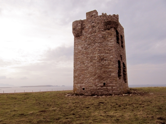
 Ireland was once circled by 80 signal towers which were easily mistaken for castles. These were build in the early 19th century to protect the UK (of which Ireland was a part of at the time) from a possible French invasion. Each tower was within line-of-sight of its two nearest neighbors, and by hanging signal flags on a mast next to the tower, a rapid means of communication around the island was possible. (Assuming the weather was clear!)
The Mullet is fortunate enough to have two signal towers. The ruins of one are on Tower Hill to the north by Tipp. I believe this tower was standing until the 1950s when a storm toppled it. I’ve hiked up there and the view of the surrounding area from 400 feet high is amazing.
The second tower is on the southern end of the Mullet in Glosh. It still stands and is the best preserved in Mayo. Surprisingly, the Glosh tower is not on a major hill. It’s elevation is only 50 feet above sea level. I guess that was good enough to see Tower Hill and the other tower on Achill Island, but I wonder why it wasn’t built on nearby Termon Hill at an elevation of 300 feet.
An immense amount of effort was used to build the 80 towers in only a few years, but within a decade, the threat of invasion from France had so diminished that the towers were abandoned.
You may think the idea of the French invading Ireland as fanciful, but they tried twice to land by sea and join forces with the local Irishman to drive the English out. Both times was a disaster (1796 & 1798). While the captured French soldiers were treated as POWs, the Irish were simply executed.
If you’re interested in more information on the Signal Towers, including more photos, floor plans and signaling apparatus, visit this site..
